1. Home
  2. Research
  3. Projects
  4. Save the tiger in the cloud

Save the tiger in the cloud

The Innovative Biomonitoring research group, a datascience research group and the bachelor programme Applied Geo-information Science of HAS green academy are working with SURF Cloud Research Consulting on a pilot study to develop a service to automatically store and process the required satellite images on Azure and subsequently use them as input for spatial analysis.

tiger

Remote sensing is becoming increasingly important for nature conservation and sustainable land use. However, large data volumes and computational requirements pose significant challenges. This project aims to develop a cloud-based solution. 

SURF will provide expertise on cloud services, while HAS Green Academy will provide expertise on remote sensing and working with geospatial data.

Handle data

Remote sensing comes with several challenges, such as how to handle large amounts of data and how to ensure the reproducibility of analyses. Another challenge is how to ensure access to remote sensing data and analysis tools for students, researchers, and practitioners with different levels of expertise and access to computing resources. 

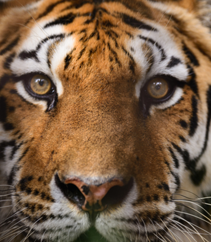
The proposed services will be used in the Save the Tiger, Save the Grasslands, Save the Water project. One of the objectives of the project is to map the ecohydrological features of the Terai region of Nepal and to identify and assess the quality of tiger habitat. This will be done using machine learning combined with remote sensing techniques and spatial modeling.

More information about SURF

Two phases

In the first phase, we will focus on automatically retrieving and processing Sentinel-2 satellite imagery for user-defined areas. The raw data will be stored in an S3 object store. To make it easier to find and select data for further analysis, metadata such as timestamps, cloud cover and vegetation cover will be stored in a metadata database. The data will be available via an API for use in other cloud services or for further analysis on the desktop. 

In the second phase, we will develop a cloud service that provides an integrated analytical framework for remote sensing analysis using Python notebooks on Azure. The aim is to develop analytical routines to e.g., compute vegetation indices, carry out time series analysis, employ a suit of machine learning algorithms, combine different model outcomes into ensemble models, and develop procedures for the validation of the outputs using cross-validation.

With the two services combined, students and partners in the project will have access to a consistent set of analytical tools and accompanying documentation, tutorials, and lesson materials. For the project, it is important that this setup will facilitate researchers and students to all use the same preprocessing steps and analytical routines.

Contact us

Duration

  • 2024